Path
Path
Path

Remote Sensing Technician

Average Salary
$50,350
$34,280
$79,240
Degree Requirements
Bachelor's Degree

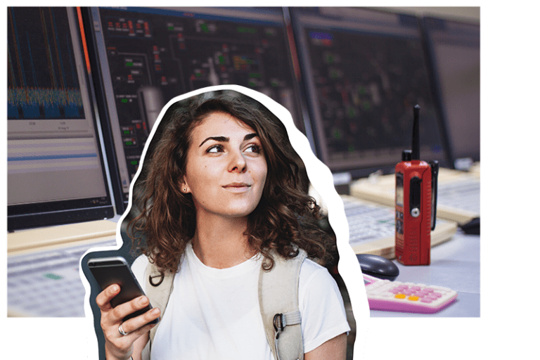
Remote sensing technicians are known for their keen eyes. They look at a variety of photos—like aerial photography, light and radio wave direction systems, digital satellites and thermal energy systems—to record information that helps us understand how to use the Earth’s land. Because they see things from a different perspective, they’re able to protect our resources and advocate for their best possible use.

Also known as: Aerial Photo Lab Manager, Digital Cartographic Technician, Geospatial Extractor, IP/Mosaic Technician
Equipment Selection
Mathematics
Monitoring
Operations Analysis
Repairing
Systems Analysis
Troubleshooting
Collect geospatial data using aerial photography, light and radio wave detection systems, digital satellites or thermal energy systems
Manage and monitor geospatial technologies used to acquire photography
Operate airborne remote sensing equipment such as survey cameras, sensors and scanners
Maintain records of survey data
Develop and maintain geospatial information databases
Calibrate data collection equipment
Prepare charts, photos and graphs for presentations

Still Interested?

Employers hiring Remote Sensing Technicians

Degree Pathways that can lead to this career

This site includes information from O*NET OnLine by the U.S. Department of Labor, Employment and Training Administration (USDOL/ETA). Used under the CC BY 4.0 license. AgriNovus Indiana has modified all or some of this information. USDOL/ETA has not approved, endorsed, or tested these modifications.

In addition to O’Net, AgriNovus Indiana gathered information from several resources. If you would like more information about the data on this site, please contact us at fieldatlas@agrinovusindiana.com.

I am…